Pamplemousses
Koordinaten: 20° 7′ S, 57° 35′ O
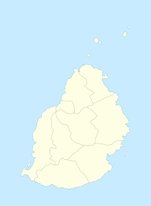
Pamplemousses ist eine Ortschaft („Village“) im Norden von Mauritius. Sie ist Teil des gleichnamige Distrikts Pamplemousses und gehört administrativ zur Village Council Area (VCA) Pamplemousses. Bei der Volkszählung 2011 hatte der Ort 9.295 Einwohner.[1] Pamplemousses liegt an der Autobahn M2.
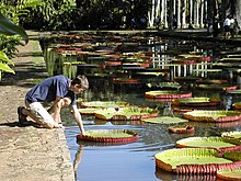
Bekannt ist die Ortschaft durch den Sir Seewoosagur Ramgoolam Botanical Garden, einen im Jahre 1756 angelegten Botanischen Garten. Kulturhistorisch bedeutsam ist auch der Komplex aus katholischer Kirche, Pfarrhaus und Friedhof nahe dem Haupteingang des botanischen Gartens.
Das August 1969 eingeweihte Sir Seewoosagur Ramgoolam Hospital in Pamplemousses ist das größte Krankenhaus in Mauritius.[2]
Weblinks
Einzelnachweise
- ↑ Statistics Mauritius: Housing and population census 2011, Volume II: Demographic and fertility characteristics, S. 71, statsmauritius.govmu.org (PDF)
- ↑ District Council Pamplemousses: SSR Hospital
Auf dieser Seite verwendete Medien
Autor/Urheber: Yashveer Poonit, Lizenz: CC BY-SA 3.0
The armorial ensigns and supporters of Mauritius are described as:
(a) for arms-
- Quarterly azure and or.
- In the first quarter a lymphad or.
- In the second, 3 palm trees vert.
- In the third, a key in pale the wards downwards gules.
- In the issuant, from the base a pile, and in chief a mullet argent.
(b) for the supporters-
- On the dexter side, a dodo per bend sinister embattled gules and argent, and
- On the sinister side, a sambur deer per bend embattled argent and gules, each supporting a sugar cane erect proper,
Autor/Urheber: Alexxx86, Lizenz: CC BY 2.5
Victoria hybrid, possibly 'Longwood Hybrid'.
(c) Uwe Dedering in der Wikipedia auf Deutsch, CC BY-SA 3.0
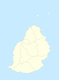
Location map of Mauritius
Equirectangular projection. Stretched by 106.0%. Geographic limits of the map:
- N: -19.7° N
- S: -20.6° N
- W: 57.21° E
- E: 57.91° E


