Nymboi-Binderay-Nationalpark
| Nymboi-Binderay-Nationalpark | ||
|---|---|---|
| Coachwood (Ceratopetalum apetalum) im Nimboy-Binderay-Nationalpark | ||
| Lage: | New South Wales, Australien | |
| Besonderheit: | Regenwald, Eukalyptus-Primärwald | |
| Nächste Stadt: | Dorrigo | |
| Fläche: | 172,43 km² | |
| Gründung: | 1997 | |
Der Nymboi-Binderay-Nationalpark ist ein Nationalpark im Nordosten des australischen Bundesstaates New South Wales, 444 Kilometer nördlich von Sydney und rund 20 Kilometer nördlich von Dorrigo.
Dieser Park umgibt die Granitschluchten und Ufer des wilden Nymboida River. Die Nymboida-Stromschnellen gelten als Revier der Wildwasserfahrer. Im Park liegen auch Abschnitte des Little Nymboida River und Erholungsgebiete bei Cod Hole und The Junction. Primärer subtropischer Regenwald beherbergt viele bedrohte Tierarten. Man findet auch Flecken mit dem seltenen Dorrigo White Gum (Eucalyptus).[1]
Weblinks
Einzelnachweise
Auf dieser Seite verwendete Medien
Autor/Urheber: Tentotwo, Lizenz: CC BY-SA 3.0
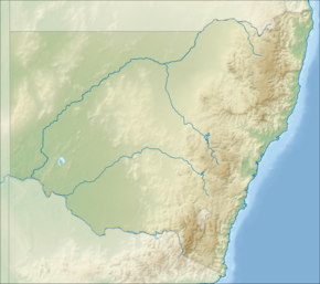
Relief location map of New South Wales, Australia Equidistant cylindrical projection, latitude of true scale 32.82° S (equivalent to equirectangular projection with N/S stretching 119 %). Geographic limits of the map:
- N: 27.9° S
- S: 37.8° S
- W: 140.6° E
- E: 153.9° E
Coachwood_- Nymboi-Binderay_National_Park


