North West Vernon Island
| North West Vernon Island | ||
|---|---|---|
 | ||
| Gewässer | Timorsee | |
| Inselgruppe | Vernon-Inseln | |
| Geographische Lage | 12° 3′ S, 131° 2′ O | |
| Länge | 7,2 km | |
| Breite | 2,5 km | |
| Fläche | 14,25 km² | |
| Höchste Erhebung | 4 m | |
| Einwohner | unbewohnt | |
North West Vernon Island, auch Northwest Vernon Island oder Warabatj[1] , ist eine unbewohnte Insel im australischen Northern Territory. Sie ist 14,25 km² groß und 9,6 Kilometer vom australischen Festland und etwa 60 Kilometer von Darwin entfernt.
Weiter nördlich befinden sich die Tiwi-Inseln und östlich East Vernon Island. Zusammen mit South West Vernon Island bilden die Inseln die Vernon-Inseln. Auf allen drei Inseln befinden sich Leuchttürme.[2]
North West Vernon Island befindet sich in einem Gebiet, in dem der Tiwi Aboriginal Land Trust der Tiwi-Aborigines über Landrechte verfügt.[3] Sie liegt in der Timor-See und ist ein Teil eines Naturschutzgebiets, das Vernon Islands conservation area genannt wird.
Die Insel ist sehr flach. Die höchste Erhebung erhebt sich vier Meter über den Meeresspiegel.[4]
Im Westen der Insel liegt ein 1,3 Kilometer langer Sandstrand.
Einzelnachweise
- ↑ Vernon Islands Conservation Management Plan Tiwi Land Council (englisch). Zuletzt abgerufen am 13. Oktober 2019
- ↑ Lighthouses of Australia: Northern Territory, auf unc.edu. Abgerufen am 30. Juli 2017
- ↑ Recreational fishing on Aboriginal land, auf nt.gov.au. Abgerufen am 30. Juli 2017
- ↑ North West Vernon Island Geonames.org (englisch). Zuletzt abgerufen am 23. Juli 2017
Auf dieser Seite verwendete Medien
Autor/Urheber: Tentotwo, Lizenz: CC BY-SA 3.0
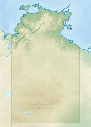
Relief location map of the Northern Territory, Australia Equidistant cylindrical projection, latitude of true scale 17.75° S (equivalent to equirectangular projection with N/S stretching 105 %). Geographic limits of the map:
- N: 10.6° S
- S: 26.5° S
- W: 127.5° E
- E: 139.5° E
Autor/Urheber: European Space Agency, Lizenz: CC BY-SA 2.0
The Vernon Islands, which host navigation aids to assist vessels passing through the strait.
Copernicus Sentinel-2 is a two-satellite mission. Each satellite carries a high-resolution camera that images Earth’s surface in 13 spectral bands. Data from Copernicus Sentinel-2 can help monitor changes in land cover.
This image, captured on 24 June 2019, is also featured on the Earth from Space video programme.

