Mweelrea
| Mweelrea / Cnoc Maol Réidh | ||
|---|---|---|
(c) Kevin Danks, CC BY-SA 2.0 Berg Mweelrea hinter Killary Harbour | ||
| Höhe | 814 m | |
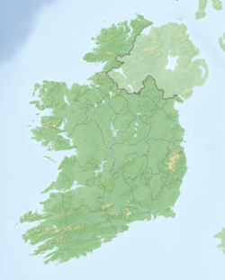
| Lage | Grafschaft Mayo, Irland | |
| Koordinaten | 53° 38′ 15″ N, 9° 49′ 50″ W | |
Der Mweelrea (irisch: Cnoc Maol Réidh, d. h. kahler, grauer Hügel) ist ein Berg im Westen Irlands, in der südwestlichen Spitze der irischen Grafschaft Mayo.
Mit einer Höhe von 817 Metern ist der Mweelrea die höchste Erhebung in Mayo und Connacht. Er überragt Killary Harbour, den einzigen Fjord Irlands. Von seinem Gipfel hat man einen guten Ausblick auf Teile der Countys Galway und Mayo. Mweelrea liegt westlich des Doo Lough und der Ortschaft Delphi.
Auf dieser Seite verwendete Medien
(c) Kevin Danks, CC BY-SA 2.0
Taken from the beach near Glassillaun, County Mayo, Ireland, looking east across a narrow headland that divides Killary Bay Little and Killary Harbour. This is a glaciated landscape, and Killary Harbour itself is a fjord. In the foreground of this shot you can see evidence of glacial action in the striations on the rocks. In the background are the Mweel Rea mountains.


