Mount Aurora
| Mount Aurora | ||
|---|---|---|
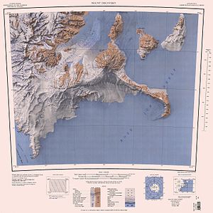
 Kartenblatt mit Mount Aurora (1041 m) auf Black Island im Nordosten | ||
| Höhe | 1041 m | |
| Lage | Black Island, Ross-Archipel, Antarktis | |
| Koordinaten | 78° 14′ 0″ S, 166° 21′ 0″ O | |
| Typ | Schichtvulkan | |
| Normalweg | Hochtour (vergletschert) | |
Mount Aurora ist ein runder Vulkankegel und mit 1041 m Höhe der höchste Berg auf Black Island im antarktischen Ross-Archipel.
Teilnehmer der New Zealand Geological Survey Antarctic Expedition (1958–1959) benannten ihn nach der Aurora, dem Schiff der Ross Sea Party im Rahmen der Endurance-Expedition (1914–1917) des britischen Polarforschers Ernest Shackleton.
Weblinks
- Mount Aurora. In: Geographic Names Information System. United States Geological Survey, United States Department of the Interior, archiviert vom (englisch).
- Mount Aurora auf geographic.org (englisch)
Auf dieser Seite verwendete Medien
Autor/Urheber: Alexrk2, Lizenz: CC BY-SA 3.0
Physische Positionskarte Antarktis, Mittabstandstreue Azimutalprojektion
Map of Antarctica by the United States Antarctic Resource Center of the US Geological Society.


