Liste der Kategorie-A-Bauwerke in East Dunbartonshire
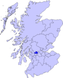
Die Liste der Kategorie-A-Gebäude in East Dunbartonshire umfasst sämtliche in der Kategorie A eingetragenen Baudenkmäler in der schottischen Unitary Authority East Dunbartonshire. Die Einstufung wird anhand der Kriterien von Historic Scotland vorgenommen, wobei in die höchste Kategorie A Bauwerke von nationaler oder internationaler Bedeutung einsortiert sind. In East Dunbartonshire sind derzeit 15 Gebäude in der Kategorie A gelistet.
Weblinks
Auf dieser Seite verwendete Medien
Autor/Urheber: Majo statt Senf, Lizenz: CC BY-SA 4.0
Schlosssymbol Schottland
(c) Martyn Gorman, CC BY-SA 2.0
Kirkintilloch: entrance to the Auld Aisle graveyard This 18th century gateway to the Auld Aisle graveyard is surmounted by a watchhouse and a belfry. The watchhouse, reached by steps built into the arch of the gateway, was intended to provide shelter to people guarding newly buried people against grave robbers. In the early 19th century there was a great shortage of corpses for anatomists and grave robbers, or resurrection men as they were called, made a living by stealing the newly dead and buried. The bell in the belfry may have been used to call for assistance or it may have housed the deid or mort bell which was tolled at funerals.
(c) Stephen Sweeney, CC BY-SA 2.0
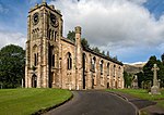
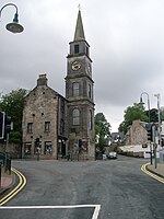
Kirkintilloch Cross Clock Former church, now converted into a shop.
(c) Ron Shephard, CC BY-SA 2.0
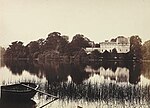
Lennox Castle Initially the home of the Earl and Countess Lennox, this Norman style castle and surrounding land was transformed into Lennox Castle Hospital where people with learning disabilities were cared for. The hospital closed around 2001 and the wards demolished. Lennox Castle itself has been derelict for around fifteen years.
Autor/Urheber: CraigIW, Lizenz: CC BY-SA 3.0
Dieses Foto zeigt das geschützte Denkmal in Schottland mit der Nummer
(c) Chris Upson, CC BY-SA 2.0
Cawder House. Club House of Cawder Golf Club http://www.cawdergolfclub.co.uk/
(c) Raymond Okonski, CC BY-SA 2.0
Engineering Nightmares Looking north along the alignment of the Campsie Branch Railway (two 'symbolic' rails have been laid within a brick mosaic), above is an aqueduct carrying the Forth & Clyde canal complete with fancy wrought-iron railings - and below, the Luggie Water as it makes its way unseen to join the River Kelvin. Which came first? The Luggie takes precedence, but the canal came next (opening from Kirkintilloch to Grangemouth in 1773). When the railway wanted to cross in 1848 it had to create this magnificent structure to allow navigation to pass over the tracks below.
(c) Stephen Sweeney, CC BY-SA 2.0
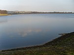
Mugdock Reservoir, Milngavie The Milngavie Water Treatment Works is the main source of water for the Greater Glasgow area. Taking water from Loch Katrine and holding it for use, Mugdock Reservoir, along with Craigmaddie and Bankell Reservoirs, have the capability to provide up to 50,000,000 gallons of water daily.
(c) Ron Shephard, CC BY-SA 2.0
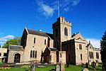
Campsie Parish Church Viewed from south of the building.
An April 2010 view of New Kilpatrick Parish Church at Bearsden, Scotland.Wikiwayman (talk) 18:50, 30 April 2010 (UTC)
Bardowie Castle

