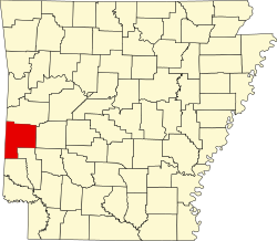
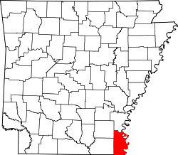
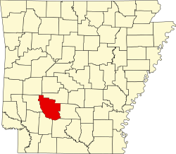
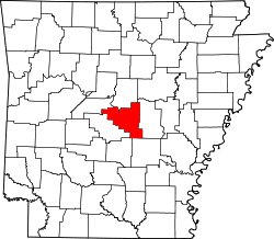
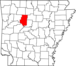
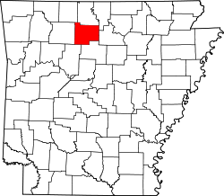
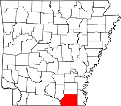
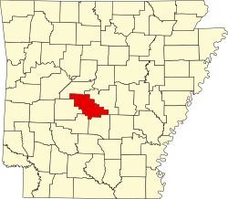
Liste der Countys in Arkansas
Der US-amerikanische Bundesstaat Arkansas ist in 75 Countys eingeteilt.
Die offizielle Abkürzung von Arkansas lautet AR, der FIPS-Code ist 05[1].
Der FIPS-Code jedes einzelnen Countys beginnt also stets mit 05, an die für jedes County jeweils die in der Tabelle genannte dreistellige Zahl hinzugefügt wird.
Die Einwohnerzahlen basieren auf den Ergebnissen der offiziellen Volkszählung im Jahr 2010.
| County | FIPS-Code[2] | County Seat | Gründung | Ursprung | Namensherkunft | Einwohner 2010[3] | Fläche[2] | Karte |
|---|---|---|---|---|---|---|---|---|
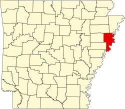
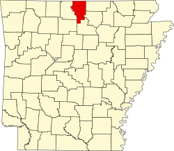
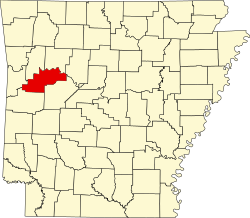
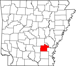
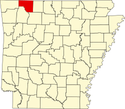
| Arkansas | 001 | DeWitt, Stuttgart | 1813 | Erstes County (Ost-Arkansas) | Quapaw-Wort für Land der flussabwärts lebenden Menschen | 19.019 | 2.560 km² |  |
| Ashley | 003 | Hamburg | 1848 | Drew und Union County | Chester Ashley (1790–1848) – US-Senator von Arkansas (1844–1848) | 21.853 | 2.386 km² |  |
| Baxter | 005 | Mountain Home | 18873 | Fulton, Izard, Marion und Searcy County | Elisha Baxter (1827–1899) – Gouverneur von Arkansas (1873–1874) | 41.513 | 1.436 km² |  |
| Benton | 007 | Bentonville | 1836 | Washington County | Thomas Hart Benton (1782–1858) – US-Senator von Missouri (1821–1851) | 221.339 | 2.191 km² |  |
| Boone | 009 | Harrison | 18869 | Carroll und Marion County | Daniel Boone (1734–1820) – Jäger und früher Siedler | 36.903 | 1.531 km² |  |
| Bradley | 011 | Warren | 1840 | Union County | Hugh Bradley (1783–1854) – einer der frühen Siedler im südlichen Arkansas | 11.508 | 1.685 km² |  |
| Calhoun | 013 | Hampton | 1850 | Dallas und Ouachita County | John C. Calhoun (1782–1850) – siebenter Vizepräsident der USA (1825–1832) | 5.368 | 1.627 km² |  |
| Carroll | 015 | Berryville | 1833 | Izard County und Madison County | Charles Carroll (1737–1832) – Mitunterzeichner der Unabhängigkeitserklärung der USA | 27.446 | 1.632 km² |  |
| Chicot | 017 | Lake Village | 1823 | Arkansas County | Point Chicot am Mississippi River | 11.800 | 1.668 km² |  |
| Clark | 019 | Arkadelphia | 1818 | Arkansas (1818) | William Clark (1770–1838) – Entdecker und Gouverneur des Missouri-Territorium (1813–1820) | 22.995 | 2.241 km² |  |
| Clay | 021 | Piggott | 1873 | Randolph und Greene County | John Middleton Clayton (1796–1856) – Mitglied des US-Repräsentantenhauses (1829–1836) | 16.083 | 1.656 km² |  |
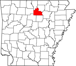
| Cleburne | 023 | Heber Springs | 1883 | White, Van Buren und Independence County | Patrick Ronayne Cleburne (1828–1864) – General der konföderierten Armee | 25.970 | 1.432 km² |  |
| Cleveland | 025 | Rison | 1873 | Bradley, Dallas und Jefferson County | Grover Cleveland (1837–1908) – 22. und 24. Präsident der USA (1885–1889, 1893–1897) | 8.689 | 1.548 km² |  |
| Columbia | 027 | Magnolia | 1852 | LaFayette, Hempstead und Ouachita County | Columbia – die weibliche Personalisierung der Vereinigten Staaten | 24.552 | 1.984 km² |  |
| Conway | 029 | Morrilton | 1825 | Pulaski County | Henry Wharton Conway (1793–1827) – Mitglied des US-Repräsentantenhauses (1823–1827) | 21.273 | 1.440 km² |  |
| Craighead | 031 | Jonesboro | 1859 | Mississippi, Greene und Poinsett County | Thomas Craighead (1798–1862) – Senator in Arkansas | 96.443 | 1.841 km² |  |
| Crawford | 033 | Van Buren | 1820 | Pulaski County | William Harris Crawford (1772–1834) – Kriegsminister (1815–1816) und Finanzminister (1816–1825) der USA | 61.948 | 1.542 km² |  |
| Crittenden | 035 | Marion | 1825 | Phillips County | Robert Crittenden (1797–1834) – Gouverneur des Arkansas-Territorium (1825–1828) | 50.902 | 1.580 km² |  |
| Cross | 037 | Wynne | 1862 | St. Francis, Poinsett und Crittenden County | David C. Cross – konföderierter Soldat und lokaler Politiker | 17.870 | 1.595 km² |  |
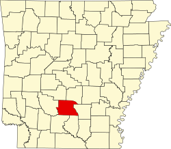
| Dallas | 039 | Fordyce | 1845 | Clark und Bradley County | George M. Dallas (1792–1864) – elfter Vizepräsident der USA (1845–1849) | 8.116 | 1.729 km² |  |
| Desha | 041 | Arkansas | 1838 | Arkansas, Union, Chicot und Lincoln County | Benjamin Desha – Soldat im Britisch–Amerikanischen Krieg und Siedler in Arkansas | 13.008 | 1.981 km² |  |
| Drew | 043 | Monticello | 1846 | Bradley, Chicot, Desha und Union County | Thomas Stevenson Drew (1802–1879), Gouverneur von Arkansas | 18.509 | 2.145 km² |  |
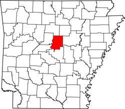
| Faulkner | 045 | Conway | 1873 | Pulaski und Conway County | Sanford Faulkner (1806–1874) – konföderierter Soldat und Komponist des Liedes "The Arkansas Traveler" | 113.237 | 1.677 km² |  |
| Franklin | 047 | Ozark | 1837 | Crawford und Johnson County | Benjamin Franklin (1706–1790) – einer der Gründerväter der USA | 18.125 | 1.579 km² |  |
| Fulton | 049 | Salem | 1842 | Izard und Lawrence County | William Savin Fulton (1795–1844) – Gouverneur des Arkansas-Territorium (1835–1836) | 12.245 | 1.601 km² |  |
| Garland | 051 | Hot Springs | 1873 | Montgomery, Hot Springs und Saline County | Augustus Hill Garland (1832–1899) – Gouverneur von Arkansas (1874–1877) | 96.024 | 1.754 km² |  |
| Grant | 053 | Sheridan | 1869 | Jefferson, Hot Spring und Saline County | Ulysses S. Grant (1822–1885) – 18. Präsident der USA (1869–1877) | 17.853 | 1.636 km² |  |
| Greene | 055 | Paragould | 1833 | Lawrence und Randolph County | Nathanael Greene (1742–1786) – General im Amerikanischen Unabhängigkeitskrieg | 42.090 | 1.496 km² |  |
| Hempstead | 057 | Hope | 1818 | Arkansas County | Edward Hempstead (1780–1817) – Mitglied des US-Repräsentantenhauses (1812–1814) | 22.609 | 1.888 km² |  |
| Hot Spring | 059 | Malvern | 1829 | Clark und Montgomery County | Heiße Quellen in der Region | 32.923 | 1.593 km² |  |
| Howard | 061 | Nashville | 1873 | Pike, Hempstead, Polk und Sevier County | James H. Howard – Senator in Arkansas | 13.789 | 1.521 km² |  |
| Independence | 063 | Batesville | 1820 | Lawrence County | Unabhängigkeitserklärung der USA | 36.647 | 1.978 km² |  |
| Izard | 065 | Melbourne | 1825 | Independence, Crawford und Fulton County | George Izard (1776–1828) – Gouverneur des Arkansas-Territorium (1825–1828) | 13.696 | 1.504 km² |  |
| Jackson | 067 | Newport | 1829 | Lawrence und St. Francis County | Andrew Jackson (1767–1845) – siebenter Präsident der USA (1829–1837) | 17.997 | 1.641 km² |  |
| Jefferson | 069 | Pine Bluff | 1829 | Arkansas und Pulaski County | Thomas Jefferson (1743–1826) – dritter Präsident der USA (1801–1809) | 77.435 | 2.292 km² |  |
| Johnson | 071 | Clarksville | 1833 | Pope County und ein kleiner Teil des Madison County | Benjamin Johnson (1784–1849) – Bundesrichter im Arkansas-Territorium | 25.540 | 1.715 km² |  |
| Lafayette | 073 | Lewisville | 1827 | Hempstead und Columbia County | Marquis de La Fayette (1757–1834) – französischer General im Amerikanischen Unabhängigkeitskrieg | 7.645 | 1.364 km² |  |
| Lawrence | 075 | Walnut Ridge | 1815 | Arkansas und New Madrid (MO) | James Lawrence (1781–1813) – amerikanischer Marineoffizier im Britisch–Amerikanischen Krieg von 1812 | 17.415 | 1.519 km² |  |
| Lee | 077 | Marianna | 1873 | Phillips, Monroe, Crittenden und St. Francis County | Robert Edward Lee (1807–1870) – konföderierter General im Bürgerkrieg | 10.424 | 1.558 km² |  |
| Lincoln | 079 | Star City | 1871 | Arkansas, Bradley, Desha, Drew und Jefferson County | Abraham Lincoln (1809–1865) – 16. Präsident der USA (1861–1865) | 14.134 | 1.454 km² |  |
| Little River | 081 | Ashdown | 1867 | Sevier County | Little River – ein Nebenfluss des Red River | 13.171 | 1.377 km² |  |
| Logan | 083 | Paris | 1871 | Franklin, Johnson, Pope, Scott und Yell County | James Logan (1791–1859) – einer der ersten weißen Siedler im westlichen Arkansas | 22.353 | 1.839 km² |  |
| Lonoke | 085 | Lonoke | 1873 | Prairie und Pulaski County | Eine einzeln stehende Eiche (engl.: lone oak), die an der Stelle der heutigen Countyverwaltung stand | 68.356 | 1.984 km² |  |
| Madison | 087 | Huntsville | 1836 | Washington County | James Madison (1751–1836) – vierter Präsident der USA (1809–1817) | 15.717 | 2.167 km² |  |
| Marion | 089 | Yellville | 1835 | Izard County | Francis Marion (1732–1795) – General im Amerikanischen Unabhängigkeitskrieg | 16.653 | 1.548 km² |  |
| Miller | 091 | Texarkana | 1862 | LaFayette County | James Miller (1776–1851) – erster Gouverneur des Arkansas-Territorium | 43.462 | 1.616 km² |  |
| Mississippi | 093 | Blytheville | 1883 | Crittenden County | Mississippi River | 46.480 | 2.326 km² |  |
| Monroe | 095 | Clarendon | 1839 | Phillips und Arkansas County | James Monroe (1758–1831) – fünfter Präsident der USA (1817–1825) | 8.149 | 1.571 km² |  |
| Montgomery | 097 | Mount Ida | 1842 | Hot Spring County | Richard Montgomery (1738–1775) – General im Amerikanischen Unabhängigkeitskrieg | 9.487 | 2.023 km² |  |
| Nevada | 099 | Prescott | 1871 | Columbia, Hempstead und Ouachita County | Der Bundesstaat Nevada | 8.997 | 1.606 km² |  |
| Newton | 101 | Jasper | 1842 | Carroll | Thomas Willoughby Newton (1804–1853) – Mitglied des US-Repräsentantenhauses (1847) | 8.330 | 2.131 km² |  |
| Ouachita | 103 | Camden | 1842 | Union County | Ouachita River | 26.120 | 1.897 km² |  |
| Perry | 105 | Perryville | 1840 | Conway County | Oliver Hazard Perry (1785–1819) – Marineoffizier im Britisch–Amerikanischen Krieg von 1812 | 10.445 | 1.427 km² |  |
| Phillips | 107 | Helena-West Helena | 1820 | Arkansas und Lawrence County | Sylvanus Phillips – Abgeordneter im Arkansas-Territorium | 21.757 | 1.794 km² |  |
| Pike | 109 | Murfreesboro | 1833 | Clark und Hempstead County | Zebulon Pike (1779–1813) – Offizier und Entdecker des Pikes Peak in Colorado | 11.291 | 1.562 km² |  |
| Poinsett | 111 | Harrisburg | 1838 | Greene und Lawrence County | Joel Roberts Poinsett (1779–1851) – Kriegsminister der USA (1837–1841) | 24.583 | 1.963 km² |  |
| Polk | 113 | Mena | 1844 | Sevier County | James K. Polk (1795–1849) – elfter Präsident der USA (1845–1849) | 20.662 | 2.226 km² |  |
| Pope | 115 | Russellville | 1829 | Crawford County | John Pope (1770–1845) – Gouverneur des Arkansas-Territorium (1829–1835) | 61.754 | 2.103 km² |  |
| Prairie | 117 | Des Arc | 1846 | Arkansas und Pulaski County | Grasland (Prärie frz.: Prairie) | 8.715 | 1.673 km² |  |
| Pulaski | 119 | Little Rock | 1818 | Arkansas und Lawrence County | Kazimierz Pułaski (1745–1779) – polnischer General im Amerikanischen Unabhängigkeitskrieg | 382.748 | 1.996 km² |  |
| Randolph | 121 | Pocahontas | 1835 | Lawrence County | John Randolph of Roanoke (1773–1833) – US-Senator von Virginia (1825–1827) | 17.969 | 1.688 km² |  |
| Saline | 125 | Benton | 1835 | Independence und Pulaski County | Salzvorkommen in der Region | 107.118 | 1.874 km² |  |
| Scott | 127 | Waldron | 1833 | Crawford und Pope County | Andrew Scott (1789–1841) – Richter im Arkansas-Territorium | 11.233 | 2.315 km² |  |
| Searcy | 129 | Marshall | 1838 | Marion County | Richard Searcy – Richter im Lawrence County | 8.195 | 1.728 km² |  |
| Sebastian | 131 | Fort Smith | 1851 | Crawford und Scott County | William King Sebastian (1812–1865) – US-Senator von Arkansas (1848–1861) | 125.744 | 1.389 km² |  |
| Sevier | 133 | De Queen | 1828 | Hempstead County | Ambrose Hundley Sevier (1801–1848) – US-Senator von Arkansas (1836–1848) | 17.058 | 1.461 km² |  |
| Sharp | 135 | Ash Flat | 1868 | Lawrence County | Ephraim Sharp – ein früher Siedler in Arkansas | 17.264 | 1.565 km² |  |
| St. Francis | 123 | Forrest City | 1827 | Phillips County | Saint Francis River – ein Nebenfluss des Mississippi | 28.258 | 1.642 km² |  |
| Stone | 137 | Mountain View | 1873 | Izard, Independence, Searcy und Van Buren County | Felsen und Steine (stones) in der Region | 12.394 | 1.571 km² |  |
| Union | 139 | El Dorado | 1829 | Clark und Hempstead County | Die Union – bis zum Bürgerkrieg gängiger Begriff für das Verhältnis der US-Bundesstaaten zueinander | 41.639 | 2.691 km² |  |
| Van Buren | 141 | Clinton | 1833 | Conway, Izard und Independence County | Martin Van Buren (1782–1862) – achter Präsident der USA (1837–1841) | 17.295 | 1.843 km² |  |
| Washington | 143 | Fayetteville | 1828 | Lovely County | George Washington (1732–1799) – erster Präsident der USA (1789–1797) | 203.065 | 2.460 km² |  |
| White | 145 | Searcy | 1835 | Independence, Jackson und Pulaski County | Hugh Lawson White (1773–1840) – US-Senator von Tennessee (1825–1840) | 77.076 | 2.678 km² |  |
| Woodruff | 147 | Augusta | 1862 | Jackson und St. Francis County | William Woodruff (1795–1885) – erster Zeitungsverleger in Arkansas | 7.260 | 1.519 km² |  |
| Yell | 149 | Danville | 1840 | Hot Spring, Pope und Scott County | Archibald Yell (1797–1847) – zweiter Gouverneur von Arkansas (1840–1844) | 22.185 | 2.403 km² |  |
Einzelnachweise
- ↑ FIPS-Codes von Arkansas ( des vom 9. Juni 2010 im Internet Archive) Info: Der Archivlink wurde automatisch eingesetzt und noch nicht geprüft. Bitte prüfe Original- und Archivlink gemäß Anleitung und entferne dann diesen Hinweis.
- ↑ a b U.S. Census Bureau - Arkansas - State & County QuickFacts ( des vom 4. Januar 2011 im Internet Archive) Info: Der Archivlink wurde automatisch eingesetzt und noch nicht geprüft. Bitte prüfe Original- und Archivlink gemäß Anleitung und entferne dann diesen Hinweis. Flächenangaben in Quadratmeilen - Umrechnung in Quadratkilometer
- ↑ U.S. Census 2010
Auf dieser Seite verwendete Medien
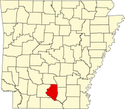
This is a locator map showing Union County in Arkansas. For more information, see Commons:United States county locator maps.
This is a locator map showing Montgomery County in Arkansas. For more information, see Commons:United States county locator maps.
This is a locator map showing Crittenden County in Arkansas. For more information, see Commons:United States county locator maps.
This is a locator map showing Faulkner County in Arkansas. For more information, see Commons:United States county locator maps.
This is a locator map showing Poinsett County in Arkansas. For more information, see Commons:United States county locator maps.
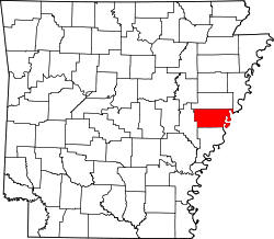
This is a locator map showing Phillips County in Arkansas. For more information, see Commons:United States county locator maps.
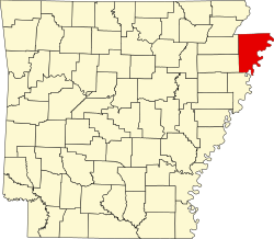
This is a locator map showing Arkansas County in Arkansas. For more information, see Commons:United States county locator maps.
Locator Map of Arkansas, United States
This is a locator map showing Ouachita County in Arkansas. For more information, see Commons:United States county locator maps.
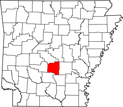
This is a locator map showing Dallas County in Arkansas. For more information, see Commons:United States county locator maps.
This is a locator map showing Woodruff County in Arkansas. For more information, see Commons:United States county locator maps.
This is a locator map showing Stone County in Arkansas. For more information, see Commons:United States county locator maps.
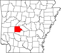
This is a locator map showing Garland County in Arkansas. For more information, see Commons:United States county locator maps.
This is a locator map showing Saint Francis County in Arkansas. For more information, see Commons:United States county locator maps.
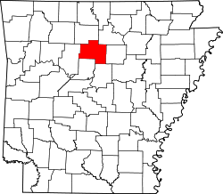
This is a locator map showing Van Buren County in Arkansas. For more information, see Commons:United States county locator maps.
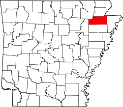
This is a locator map showing Greene County in Arkansas. For more information, see Commons:United States county locator maps.
This is a locator map showing Clay County in Arkansas. For more information, see Commons:United States county locator maps.
This is a locator map showing Lonoke County in Arkansas. For more information, see Commons:United States county locator maps.
This is a locator map showing Miller County in Arkansas. For more information, see Commons:United States county locator maps.
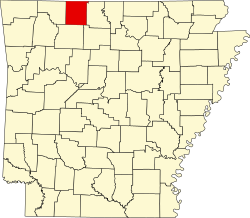
This is a locator map showing Boone County in Arkansas. For more information, see Commons:United States county locator maps.
This is a locator map showing Perry County in Arkansas. For more information, see Commons:United States county locator maps.
This is a locator map showing Polk County in Arkansas. For more information, see Commons:United States county locator maps.
This is a locator map showing Conway County in Arkansas. For more information, see Commons:United States county locator maps.
This is a locator map showing Yell County in Arkansas. For more information, see Commons:United States county locator maps.
This is a locator map showing Hot Spring County in Arkansas. For more information, see Commons:United States county locator maps.
This is a locator map showing Chicot County in Arkansas. For more information, see Commons:United States county locator maps.
This is a locator map showing Johnson County in Arkansas. For more information, see Commons:United States county locator maps.
This is a locator map showing Scott County in Arkansas. For more information, see Commons:United States county locator maps.
This is a locator map showing Clark County in Arkansas.
- Credits
- For more information, see Commons:United States county locator maps.
This is a locator map showing Madison County in Arkansas. For more information, see Commons:United States county locator maps.
This is a locator map showing Pulaski County in Arkansas. For more information, see Commons:United States county locator maps.
This is a locator map showing Sharp County in Arkansas. For more information, see Commons:United States county locator maps.
This is a locator map showing Mississippi County in Arkansas. For more information, see Commons:United States county locator maps.
This is a locator map showing Hempstead County in Arkansas. For more information, see Commons:United States county locator maps.
This is a locator map showing Grant County in Arkansas. For more information, see Commons:United States county locator maps.
This is a locator map showing Monroe County in Arkansas. For more information, see Commons:United States county locator maps.
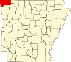
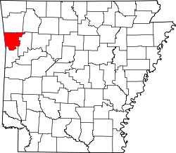
This is a locator map showing Benton County in Arkansas. For more information, see Commons:United States county locator maps.
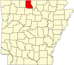
This is a locator map showing Marion County in Arkansas. For more information, see Commons:United States county locator maps.
This is a locator map showing Baxter County in Arkansas. For more information, see Commons:United States county locator maps.
This is a locator map showing Jefferson County in Arkansas. For more information, see Commons:United States county locator maps.
This is a locator map showing Washington County in Arkansas. For more information, see Commons:United States county locator maps.
This is a locator map showing Pike County in Arkansas. For more information, see Commons:United States county locator maps.
This is a locator map showing Desha County in Arkansas. For more information, see Commons:United States county locator maps.
This is a locator map showing Newton County in Arkansas. For more information, see Commons:United States county locator maps.
This is a locator map showing Lincoln County in Arkansas. For more information, see Commons:United States county locator maps.
This is a locator map showing Izard County in Arkansas. For more information, see Commons:United States county locator maps.
This is a locator map showing Carroll County in Arkansas.
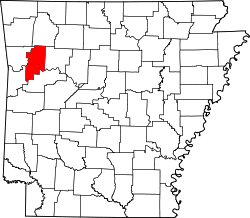
This is a locator map showing Pope County in Arkansas. For more information, see Commons:United States county locator maps.
This is a locator map showing Drew County in Arkansas. For more information, see Commons:United States county locator maps.
This is a locator map showing Jackson County in Arkansas. For more information, see Commons:United States county locator maps.
This is a locator map showing Searcy County in Arkansas. For more information, see Commons:United States county locator maps.
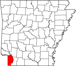
This is a locator map showing Lafayette County in Arkansas. For more information, see Commons:United States county locator maps.
This is a locator map showing Ashley County in Arkansas. For more information, see Commons:United States county locator maps.
This is a locator map showing Columbia County in Arkansas. For more information, see Commons:United States county locator maps.
This is a locator map showing Saline County in Arkansas. For more information, see Commons:United States county locator maps.
This is a locator map showing Lee County in Arkansas. For more information, see Commons:United States county locator maps.
This is a locator map showing Craighead County in Arkansas. For more information, see Commons:United States county locator maps.
This is a locator map showing Nevada County in Arkansas. For more information, see Commons:United States county locator maps.
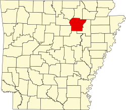
This is a locator map showing Independence County in Arkansas. For more information, see Commons:United States county locator maps.
This is a locator map showing Cleveland County in Arkansas. For more information, see Commons:United States county locator maps.
This is a locator map showing Franklin County in Arkansas. For more information, see Commons:United States county locator maps.
This is a locator map showing Calhoun County in Arkansas. For more information, see Commons:United States county locator maps.
This is a locator map showing White County in Arkansas. For more information, see Commons:United States county locator maps.
This is a locator map showing Fulton County in Arkansas. For more information, see Commons:United States county locator maps.
This is a locator map showing Prairie County in Arkansas. For more information, see Commons:United States county locator maps.
This is a locator map showing Howard County in Arkansas. For more information, see Commons:United States county locator maps.
This is a locator map showing Cleburne County in Arkansas. For more information, see Commons:United States county locator maps.
This is a locator map showing Little River County in Arkansas. For more information, see Commons:United States county locator maps.
This is a locator map showing Bradley County in Arkansas. For more information, see Commons:United States county locator maps.
This is a locator map showing Sebastian County in Arkansas. For more information, see Commons:United States county locator maps.
This is a locator map showing Cross County in Arkansas. For more information, see Commons:United States county locator maps.
This is a locator map showing Crawford County in Arkansas. For more information, see Commons:United States county locator maps.
This is a locator map showing Sevier County in Arkansas. For more information, see Commons:United States county locator maps.
This is a locator map showing Randolph County in Arkansas. For more information, see Commons:United States county locator maps.
This is a locator map showing Lawrence County in Arkansas. For more information, see Commons:United States county locator maps.


