Le Val-Doré
| Le Val-Doré | ||
|---|---|---|
| ||
| Staat | Frankreich | |
| Region | Normandie | |
| Département (Nr.) | Eure (27) | |
| Arrondissement | Évreux | |
| Kanton | Conches-en-Ouche | |
| Gemeindeverband | Pays de Conches | |
| Koordinaten | 48° 56′ N, 1° 2′ O | |
| Höhe | 95–175 m | |
| Fläche | 20,17 km² | |
| Einwohner | 885 (1. Januar 2021) | |
| Bevölkerungsdichte | 44 Einw./km² | |
| Postleitzahl | 27190 | |
| INSEE-Code | 27447 | |
| Website | le-val-dore27190.fr | |
Le Val-Doré ist eine französische Gemeinde mit 885 Einwohnern (Stand: 1. Januar 2021) im Département Eure in der Region Normandie. Sie gehört zum Arrondissement Évreux und zum Kanton Conches-en-Ouche sowie zum Gemeindeverband Pays de Conches. Die Einwohner werden Orvauxiens genannt.
Le Val-Doré wurde zum 1. Januar 2018 als Commune nouvelle aus den vormals eigenständigen Kommunen Le Fresne, Le Mesnil-Hardray und Orvaux gebildet[1].
Gliederung
| Ortsteil | ehemaliger INSEE-Code | Fläche (km²) | Einwohnerzahl zum 1. Januar 2019[2] |
|---|---|---|---|
| Le Fresne | 27268 | 9,13 | 327 |
| Le Mesnil-Hardray | 27402 | 4,84 | 69 |
| Orvaux (Verwaltungssitz) | 27447 | 6,20 | 502 |
Geografie
Le Val-Doré liegt etwa 15 Kilometer südwestlich von Évreux zwischen den Flüssen Roulou und Iton. Umgeben wird Le Val-Doré von den Nachbargemeinden La Croisille und Champ-Dolent im Norden, Gaudreville-la-Rivière im Norden und Nordosten, Les Ventes im Osten, Sylvains-Lès-Moulins im Osten und Südosten, Nogent-le-Sec im Süden, Nagel-Séez-Mesnil im Westen und Südwesten, Conches-en-Ouche im Westen und Nordwesten sowie Saint-Élier im Nordwesten.
Sehenswürdigkeiten
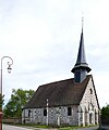
- Kirche Saint-Léonard in Le Fresne
- Kirche Notre-Dame in Le Mesnil-Hardray, Monument historique seit 1953
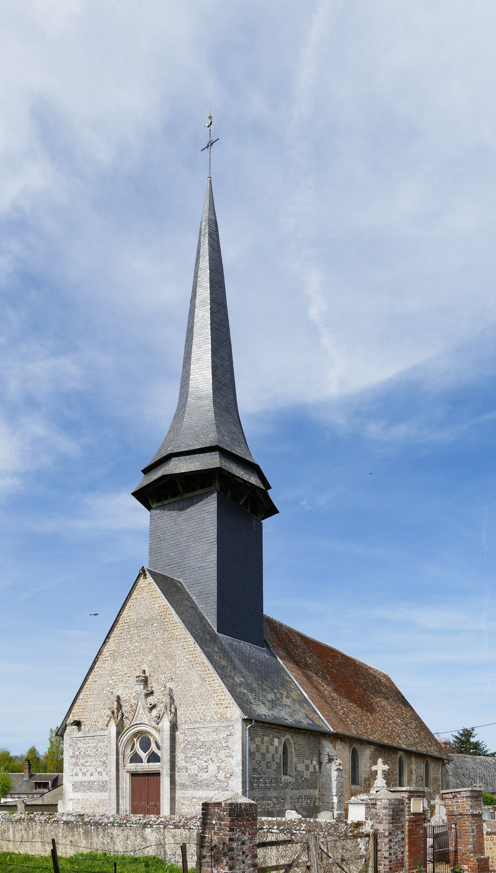
- Kirche Notre-Dame in Orvaux
 Kirche Saint-Léonard
 Kirche Notre-Dame in Le Mesnil-Hardray
 Kirche Notre-Dame in Orvaux
Weblinks
Einzelnachweise
- ↑ Anne Laparre-Lacassagne: Recueil des actes administratifs spécial n°27-2017-126. Arrêté 27-2017-09-21-008 créant la commune nouvelle Le Val-Doré. 21. September 2017, abgerufen am 19. Januar 2018 (französisch).
- ↑ Einwohnerzahlen gemäß INSEE
Auf dieser Seite verwendete Medien

(c) Karte: NordNordWest, Lizenz: Creative Commons by-sa-3.0 de
Positionskarte von Frankreich mit Regionen und Départements

Autor/Urheber:
| This illustration was made by Peter Potrowl.
Please credit this with : © Peter Potrowl in the immediate vicinity of the image. A link to my website sitemai.eu would be much appreciated but isn't mandatory. An email to
Do not copy this image illegally by ignoring the terms of the license below, as it is not in the public domain.
If you would like special permission to use, license, or purchase the image please contact me More free pictures in my website. Donations are accepted here and here. |
Our Lady's church in Orvaux (Eure, Normandie, France).

Autor/Urheber: Phaubry, Lizenz: CC BY-SA 3.0
Ancienne église Notre-Dame du Mesnil-Hardray.

Autor/Urheber:
| This illustration was made by Peter Potrowl.
Please credit this with : © Peter Potrowl in the immediate vicinity of the image. A link to my website sitemai.eu would be much appreciated but isn't mandatory. An email to
Do not copy this image illegally by ignoring the terms of the license below, as it is not in the public domain.
If you would like special permission to use, license, or purchase the image please contact me More free pictures in my website. Donations are accepted here and here. |
Saint-Léonard's church in Le Fresne (Eure, Normandie, France).