Koks Island
| Koks Island | ||
|---|---|---|
| Koks Island aus dem Atlas de l'expédition Baudin | ||
| Gewässer | Indischer Ozean | |
| Geographische Lage | 24° 44′ 59″ S, 113° 9′ 39″ O | |
| Länge | 250 m | |
| Breite | 130 m | |
| Fläche | 3 ha | |
| Einwohner | unbewohnt | |
Koks Island ist eine kleine unbewohnte Insel vor der Westküste von Australien. Sie bildet die nördlichste Insel einer Kette von Felsinseln, zu welcher auch die weit größeren Bernier Island und Dorre Island zählen.
Das drei Hektar große und 52 Kilometer nordwestlich der Stadt Carnarvon gelegene Eiland ist 400 m von Cape Ronsard, dem nördlichsten Punkt von Bernier Island, entfernt.
Koks Island gehört zum Bernier and Dorre Island Nature Reserve, einem Naturreservat in der Shark Bay in Western Australia.
Auf dieser Seite verwendete Medien
Autor/Urheber: Tentotwo, Lizenz: CC BY-SA 3.0
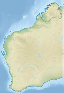
Relief location map of Western Australia, Australia
Equidistant cylindrical projection, latitude of true scale 24.62° S (equivalent to equirectangular projection with N/S stretching 110 %). Geographic limits of the map:
- N: 13.2° S
- S: 35.5° S
- W: 112.5° E
- E: 129.5° E
Île Bernier (Atlas de l'expédition Baudin)


