Kersey Upland
| Kersey Upland | ||
|---|---|---|
(c) Oliver Dixon, CC BY-SA 2.0 | ||
| Koordinaten | 52° 3′ N, 0° 54′ O | |
| ||
| Traditionelle Grafschaft | Suffolk | |
| Verwaltung | ||
| Landesteil | England | |
| Region | East of England | |
| Shire county | Suffolk | |
| District | Babergh | |
| Civil Parish | Kersey | |
Kersey Upland ist ein Weiler in der Gemeinde Kersey, im District Babergh in der Grafschaft Suffolk, England.
Kersey Upland verfügt über 5 denkmalgeschützte Gebäude: Boxford Road Farmhouse,[1] Hart’s Cottage,[2] Sampson’s Hall,[3] The Forge[4] und West Sampson’s Hall.[5]
Einzelnachweise
- ↑ https://britishlistedbuildings.co.uk/101351484-boxford-road-farmhouse-kersey
- ↑ https://britishlistedbuildings.co.uk/101037239-harts-cottage-kersey
- ↑ https://britishlistedbuildings.co.uk/101180386-sampsons-hall-kersey
- ↑ https://britishlistedbuildings.co.uk/101285487-the-forge-kersey
- ↑ https://britishlistedbuildings.co.uk/101037240-west-sampsons-hall-kersey
Auf dieser Seite verwendete Medien
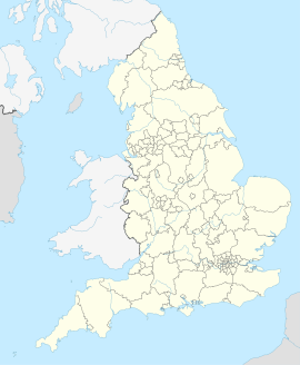
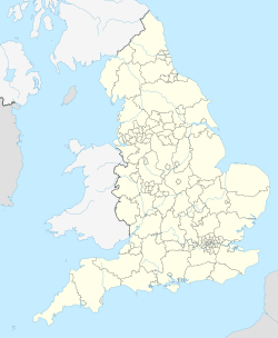
(c) Karte: NordNordWest, Lizenz: Creative Commons by-sa-3.0 de
Positionskarte von England, Vereinigtes Königreich


