Haun (Schottland)
| Haun schottisch-gälisch Na Hann | ||
|---|---|---|
| Koordinaten | 57° 5′ N, 7° 18′ W | |
| Traditionelle Grafschaft | Inverness-shire | |
| Verwaltung | ||
| Post town | ISLE OF SOUTH UIST | |
| Postleitzahlenabschnitt | HS8 | |
| Vorwahl | 01878 | |
| Landesteil | Scotland | |
| Council area | Äußere Hebriden | |
| Britisches Parlament | Na h-Eileanan an Iar | |
| Schottisches Parlament | Na h-Eileanan an Iar | |
Haun, schottisch-gälisch Na Hann,[1] ist eine Streusiedlung auf der schottischen Hebrideninsel Eriskay. Die Küstensiedlung liegt im Nordwesten der Insel und ist Teil der größten Siedlungsagglomeration der dünnbesiedelten Insel. In Haun gibt es ein Postamt und die Kirche St Michael’s of the Sea liegt in der Nähe von Haun. Nordwestlich von Haun erreicht der Eriskay Causeway, ein Straßendamm über den Eriskay-Sund, von der Nachbarinsel South Uist kommend Eriskay.[2]
In Haun sind Garnelen- und Hummerfischer sowie textilverarbeitendes Gewerbe ansässig.[2]
- (c) Tom Richardson, CC BY-SA 2.0
Hafen von Haun
- (c) Barbara Carr, CC BY-SA 2.0
Altar von St Michael’s of the Sea
Einzelnachweise
Auf dieser Seite verwendete Medien
(c) Barbara Carr, CC BY-SA 2.0
The Altar of St Michael's of the Sea. St Michael's was opened in 1903, but has since been renovated. This unique altar-piece reflects Eriskay's links with the sea, being the bow of a lifeboat from HMS Hermes. While the ship was engaged in exercises off St Kilda, the lifeboat was swept overboard and eventually washed up at Pollachar, about 4.5km to the northwest of Haun - it was damaged, but the bow section was sound enough to be recovered and installed here at St Michael's. See 1357166.
(c) Tom Richardson, CC BY-SA 2.0
Harbour at Haun on Eriskay.
(c) Eric Gaba, NordNordWest, CC BY-SA 3.0
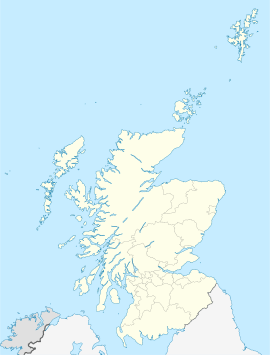
Positionskarte von Schottland, Vereinigtes Königreich


