Dongosaro
| Dongosaro | ||
|---|---|---|
| Südspitze von Dongosaro | ||
| Gewässer | Pazifischer Ozean | |
| Inselgruppe | Sonsorol-Inseln | |
| Geographische Lage | 5° 19′ 34″ N, 132° 13′ 14″ O | |
| Länge | 1,8 km | |
| Breite | 700 m | |
| Fläche | 1,36 km² | |
| Höchste Erhebung | 1 m | |
| Einwohner | 24 (2000) 18 Einw./km² | |
| Hauptort | Dongosaro | |
| NASA-Satellitenbild von Fanna und Dongosaro (unten) | ||
Dongosaro, auch Sonsorol oder Dongosaru genannt, ist eine Insel im Westpazifik. Sie liegt 1,7 km südlich ihrer kleineren Schwesterinsel Fanna, mit welcher sie die Gruppe der Sonsorol-Inseln bildet.
Die Insel wird von einem Korallenriff umgeben, das 160 bis 480 m vom Land entfernt ist. Die gleichnamige Hauptsiedlung Dongosaro liegt an der Westküste der mit Kokospalmen stark bewaldeten Insel.
Gemeinsam mit den Inseln Fanna, Pulo Anna und Merir bildet Dongosaro den palauischen Teilstaat Sonsorol, d. h. ein Verwaltungsgebiet der Inselrepublik Palau.
Auf dieser Seite verwendete Medien
Autor/Urheber: NordNordWest, Lizenz: CC BY-SA 3.0 de
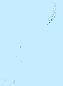
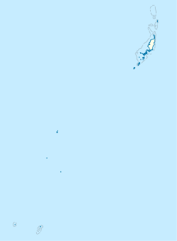
Positionskarte von Palau
Satellite view of the Sonsorol Islands (Dongosaro and Fanna).
View of the south end of Dongosaro (Sonsorol) Island, Southwest Islands of Palau. Original field note: From offshore, beyond the wide reef flats. Notice how here the indigenous vegetation has not been replaced by coconuts, therefore is less subject to wind or storm damage. Good sandy beaches with loose sand for nesting green turtles. The large tree with rounded deep green canopy is probably a laurel, of which there were many specimens, the largest being 19 m (nearly 60 feet) tall.


