Caldera (Costa Rica)

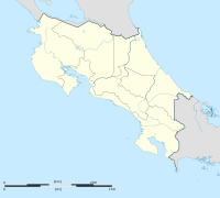
Caldera ist eine Hafenstadt im Kanton Esparza in der Provinz Puntarenas des mittelamerikanischen Staates Costa Rica. Sie liegt etwa 30 Kilometer südlich von Puntarenas.
Der Hafenbetrieb Calderas wurde 1577 begonnen, 1834 wurde die Handelsschifffahrt nach Puntarenas verlegt.
Koordinaten: 9° 55′ N, 84° 43′ W
Auf dieser Seite verwendete Medien
(c) Eric Gaba – Wikimedia Commons user: Sting, CC BY-SA 4.0
Blank map of Costa Rica for geo-location purpose.
Note: The Isla del Coco, out of the map, is not shown.
Scale: 1:1,856,000 (accuracy: 464 m).
Equirectangular projection centered on 9°30'N – 84°15'W, WGS84 datum
Geographic limits of the map:
* West: 86°30'W
* East: 82°W
* North: 11°30'N
* South: 7°30'N
Autor/Urheber: Mariordo (Mario Duran Ortiz), Lizenz: CC BY-SA 3.0
Port of Caldera, Puntarenas, Costa Rica


