Bucklebury
| Bucklebury | ||
|---|---|---|
(c) Andrew Smith, CC BY-SA 2.0 | ||
| Koordinaten | 51° 26′ N, 1° 12′ W | |
| ||
| Traditionelle Grafschaft | Berkshire | |
| Einwohner | 2116 (Stand: 2011) | |
| Fläche | 21,82 km² (8,42 mi²) | |
| Bevölkerungsdichte: | 97 Einw. je km² | |
| Verwaltung | ||
| Post town | Reading | |
| Landesteil | England | |
| Region | South East England | |
| Zeremonielle Grafschaft | Berkshire | |
| Unitary authority | West Berkshire | |
| Civil Parish | Bucklebury | |
| Britisches Parlament | Newbury (UK Parliament constituency) | |
| Website: http://bucklebury.wikispaces.com | ||
Bucklebury ist eine Ortschaft und civil parish in Berkshire in England mit 2066 Einwohnern (2001). Bucklebury gehört zum District West Berkshire; es liegt etwa 8 km nordöstlich von Newbury.
1086 wird Bucklebury als Borgeldeberie im Domesday Book erwähnt.
Der River Pang fließt am nördlichen Rand des Ortes Bucklebury.
Persönlichkeiten
- Catherine Mountbatten-Windsor, Duchess of Cambridge (* 1982), Ehefrau von Prinz William Mountbatten-Windsor, Duke of Cambridge, wuchs dort auf. Ihre Eltern leben heute noch in dem Ort.
- Frances Winchcombe (* Ende des 17. Jh.), die erste Frau von Henry St. John, 1. Viscount Bolingbroke (1678–1751), Politiker und Philosoph
Weblinks
- Bucklebury Parish Council, offizielle Website (englisch)
Auf dieser Seite verwendete Medien
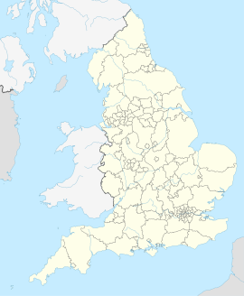
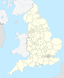
(c) Karte: NordNordWest, Lizenz: Creative Commons by-sa-3.0 de
Positionskarte von England, Vereinigtes Königreich
(c) Andrew Smith, CC BY-SA 2.0
St Mary The Virgin parish church, Bucklebury, Berkshire, seen from the southwest
(c) Pam Brophy, CC BY-SA 2.0
Pangfield Farm near Bucklebury. The farm in the spring sunshine. This view was taken from the west of the drive up to the farm looking in a north westerly direction. The farm is in the middle of the upper half of the grid square.


