Bratina Island
| Bratina Island | ||
|---|---|---|
 | ||
| Gewässer | Ross-Schelfeis, Rossmeer | |
| Inselgruppe | Ross-Archipel | |
| Geographische Lage | 78° 1′ S, 165° 32′ O | |
| Höchste Erhebung | 160 m | |
| Einwohner | unbewohnt | |
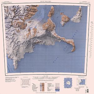
Bratina Island ist eine kleine Insel des Ross-Archipels. Sie liegt vom Ross-Schelfeis eingeschlossen an der Nordspitze der Brown-Halbinsel vor der Scott-Küste des ostantarktischen Viktorialands.
Das Advisory Committee on Antarctic Names benannte sie 1963 nach Joseph H. Bratina (1914–2006), leitender Flugzeugmaschinist der Flugstaffel VX-6 auf der McMurdo-Station von 1958 bis 1959, von 1960 bis 1961 und von 1961 bis 1962.
Weblinks
- Bratina Island. In: Geographic Names Information System. United States Geological Survey, United States Department of the Interior, archiviert vom (englisch).
- Bratina Island auf geographic.org (englisch)
Auf dieser Seite verwendete Medien
Autor/Urheber: Alexrk2, Lizenz: CC BY-SA 3.0
Physische Positionskarte Antarktis, Mittabstandstreue Azimutalprojektion
Map of Antarctica by the United States Antarctic Resource Center of the US Geological Society.


