Assab-Vulkanfeld
| Assab-Vulkanfeld | ||
|---|---|---|
 Satellitenaufnahme des Vulkanfeldes | ||
| Höhe | 987 m | |
| Lage | Eritrea | |
| Koordinaten | 12° 56′ 50″ N, 42° 26′ 17″ O | |
| Typ | Vulkanfeld | |
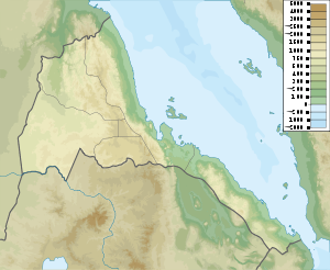
Das Assab-Vulkanfeld liegt am südlichen Landzipfel von Eritrea, wenige Kilometer von der Küste des Roten Meeres entfernt.
Eine Kette von basaltischen Schlackenkegeln, deren höchster Gipfel 987 Meter hoch ist, zieht sich vom Stadtrand der Hafenstadt Assab weit nach Westen. Das dazugehörige Lavafeld bedeckt eine Fläche von 55 × 90 Kilometer, Lavaströme erreichten an verschiedenen Stellen die Meeresküste nahe der Stadt.
Weblinks
- Assab-Vulkanfeld im Global Volcanism Program der Smithsonian Institution (englisch)
Auf dieser Seite verwendete Medien
The long chain of pyroclastic cones and lava flows extending East-West across this Landsat image is the Assab volcanic field near the Red Sea coast in southern Eritrea.
- This spectacular range of basaltic cinder cones and associated lava flows covers a 55 x 90 km area, and flows reached the Red Sea along a broad front.
- The vents of the Assab volcanic field were constructed along a broad E-W-trending line that extends to the coastal city of Assab, out of view to right.
Autor/Urheber: Urutseg, Lizenz: CC0
Eritrea physical map, parameters equal to File:Eritrea location map.svg


