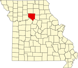
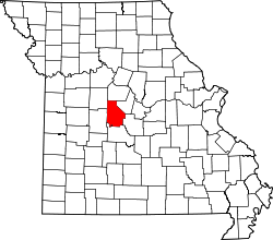
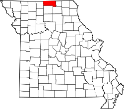
Map of Missouri highlighting Audrain County
Autor/Urheber:
Shortlink:
Quelle:
Größe:
5812 x 5110 Pixel (114927 Bytes)
Beschreibung:
This is a locator map showing Audrain County in Missouri. For more information, see Commons:United States county locator maps.
Lizenz:
Public domain
Credit:
The maps use data from nationalatlas.gov, specifically countyp020.tar.gz on the Raw Data Download page. The maps also use state outline data from statesp020.tar.gz. The Florida maps use hydrogm020.tar.gz to display Lake Okeechobee.
Relevante Bilder
Relevante Artikel
Liste der Einträge im National Register of Historic Places im Audrain CountyDie Liste der Einträge im National Register of Historic Places im Audrain County in Missouri führt alle Bauwerke und historischen Stätten im Audrain County auf, die in das National Register of Historic Places aufgenommen wurden. .. weiterlesen
Audrain CountyDas Audrain County ist ein County im US-amerikanischen Bundesstaat Missouri. Im Jahr 2010 hatte das County 25.529 Einwohner und eine Bevölkerungsdichte von 14,2 Einwohnern pro Quadratkilometer. Der Verwaltungssitz ist Mexico. .. weiterlesen


